Rome Leonardo da Vinci Fiumicino Airport (FCO)
Driving Directions / Travel by Car
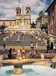
(Rome, Italy)
Also known as the Leonardo da Vinci Airport, Rome's Fiumicino Airport (FCO) lies on the western outskirts, next to the coastline. The city's main transport hub, Rome Fiumicino Airport is located slightly east of Fiumicino itself and to the west of Dragona and Ostia Antica, being off the A91 (Autostrada Fiumicino-Roma).
The Lido di Ostia is situated to the south, off the Via del Mare and close to Casal Palocco and Infernetto. Next to the A12 / E80, Piana del Sole can be found to the north-east of Rome Fiumicino Airport and close to the main A90 ring road (Circonvallazione Meridionale). The journey to the airport should take around 30 minutes to drive, with taxis and buses also available and regularly travelling along this route.
Roads within the airport complex itself include the Via Mario De Bernardi, the Via Alessandro Guidoni, the Via dell'Aeroporto di Fiumicino and the Via Francesco Baracca.
Directions to Rome Fiumicino Airport (FCO) from Rome city centre:
- Fiumicino Airport is situated 32 km / 20 miles from Rome city centre
- The Autostrada Roma Fiumicino highway connects the airport to the Grande Raccordo Anulare, which is the Rome circular expressway
Rome Leonardo da Vinci Fiumicino Airport (FCO): Virtual Google Maps
